d.nethaji anandhavalli
New member
My hometown :
40
40
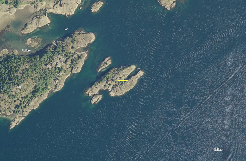
teh missuses summer abode
Nord : 6499981


Looks orsum mate. :smilie4:
teh missuses summer abode
Nord : 6499981
Depends on whether he lives on a football field, doesn't it?
My hometown :
40